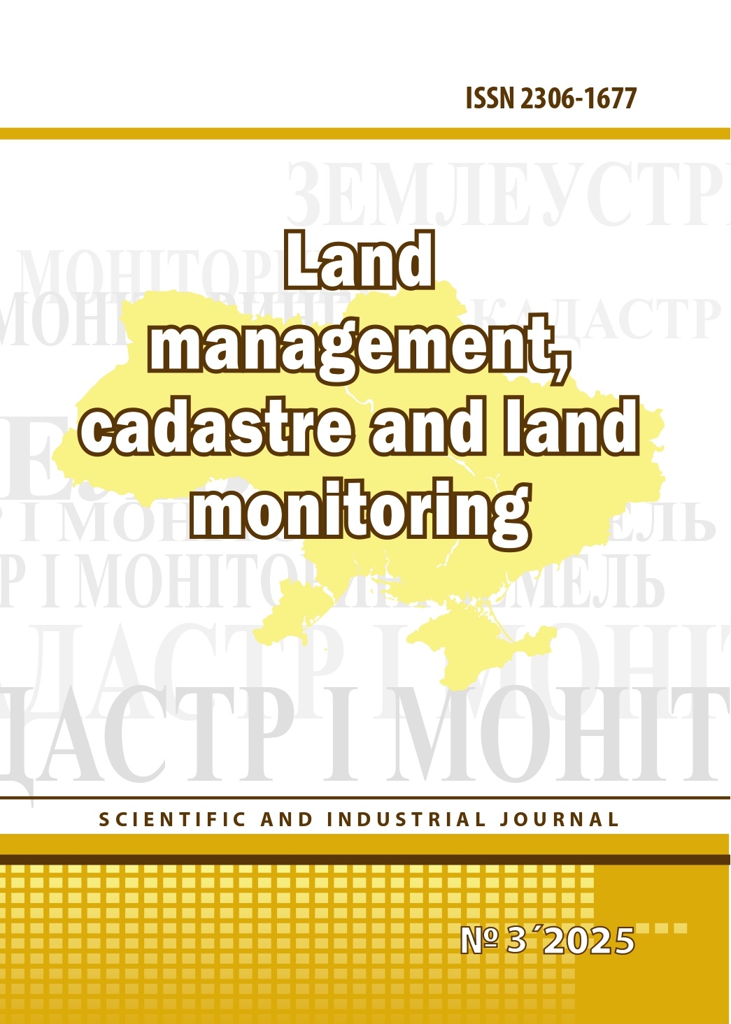
Quality management of land management works: essence, tools, metrics
DOI:
https://doi.org/10.31548/zemleustriy2026.03.03Keywords:
quality of land management works, land management documentation, quality management, qualimetry, quality metrics, State Land Cadastre, geospatial data, topological connectivity, completeness of land management surveys, substantiation of the planning decision, digitalization of land management, artificial intelligenceAbstract
The article examines the quality of land management works as a complex multidimensional category that cannot be reduced to the mere absence of formal errors, compliance with the prescribed form of documentation, or its minimum conformity with legal and regulatory requirements. It is substantiated that, under current conditions of the digitalization of land-cadastral, registration, and spatial planning procedures, the quality of land management documentation should be considered as an integral property of a professional output combining the completeness of land management surveys, the accuracy of the topographic and geodetic basis, the soundness of the planning decision, regulatory correctness, as well as the ability of the documentation to minimize the risks associated with the acquisition, confirmation, and exercise of land rights. It is shown that the current control practice in Ukraine has historically focused primarily on verifying the technical validity of electronic documents, topological connectivity, logical consistency, and the format suitability of geospatial data, whereas the issues of survey completeness, the evidentiary soundness of the planning decision, and the post-project sustainability of the legal outcome remain much less developed methodologically. The purpose of the study is to provide a theoretical and methodological substantiation of the essence of the quality of land management works, to develop a system of its structural elements, to elaborate a qualimetric approach to the assessment of land management documentation, and to identify quality management tools suitable for professional, administrative, and automated digital control. The methodological framework is based on systemic, structural-functional, formal-legal, comparative-legal, and qualimetric approaches, while the source base includes the legislation of Ukraine, international standards of geographic information quality, documents in the field of land administration, as well as current procedures for the electronic validation of land management documentation. A model of land management documentation quality is proposed, including five interrelated dimensions: completeness of surveys, accuracy of geodetic works, substantiation of the planning decision, regulatory compliance, and practical fitness for achieving the legal result. A system of quantitative metrics and an integral approach to quality assessment have been developed, suitable for implementation in computer-aided design systems, the State Land Cadastre, the urban planning cadastre, and related public information resources. The prospects for using artificial intelligence for the intelligent analysis of documentation, anomaly detection, verification of the actual existence of objects, support of planning decisions, and the development of risk-oriented control are substantiated separately, provided that it does not replace professional and administrative discretion. The practical value of the article lies in forming a conceptually coherent and instrumentally applicable framework for the transition from formal control of documentation to systemic quality management of land management works in Ukraine.
Received: 20.04.2026;
Accepted: 7.05.2026;
References
1. Verkhovna Rada of Ukraine. (2003). Pro zemleustrii [On land management] (Law No. 858-IV). Available at: https://zakon.rada.gov.ua/go/858-15
2. Verkhovna Rada of Ukraine. (2004). Pro derzhavnu reiestratsiiu rechovykh prav na nerukhome maino ta yikh obtiazhen [On state registration of property rights and encumbrances] (Law No. 1952-IV). Available at: https://zakon.rada.gov.ua/go/1952-15
3. Verkhovna Rada of Ukraine. (2011). Pro rehuliuvannia mistobudivnoi diialnosti [On regulation of urban development] (Law No. 3038-VI). Available at: https://zakon.rada.gov.ua/go/3038-17
4. Verkhovna Rada of Ukraine. (2020). Pro natsionalnu infrastrukturu heoprostorovykh danykh [On national geospatial data infrastructure] (Law No. 554-IX). Available at: https://zakon.rada.gov.ua/go/554-20
5. Hunko, L. A., Lakhmatova, O. V., & Zakharenko, O. V. (2022). Problems of improving state regulation of land management. In Suchasni tendentsii rozvytku heodezii, zemleustroiu ta pryrodokorystuvannia [Modern trends in geodesy, land management and environmental management] (pp. 147–149). Odesa.
6. Hunko, L. A., Lakhmatova, O. V., & Zakharenko, O. V. (2025). Digitalization in certification as an important aspect of protecting certified land surveyors and geodesists. In Innovatsiini tekhnolohii u planuvanni terytorii [Innovative technologies in spatial planning] (pp. 219–222). Odesa.
7. Martyn, A. H., Hunko, L. A., & Kolhanova, I. H. (2015). Upravlinnia yakistiu zemlevporiadnykh robit [Quality management of land management works]. Komprynt.
8. International Organization for Standardization. (2013). ISO 19157: Geographic information — Data quality. Available at: https://www.iso.org/standard/32575.html
9. International Organization for Standardization. (2023). ISO 19157-1: Geographic information — Data quality — Part 1: General requirements. Available at: https://www.iso.org/standard/78900.html
10. United Nations Committee of Experts on Global Geospatial Information Management. (2020). Framework for effective land administration (FELA). Available at: https://ggim.un.org/meetings/GGIM-committee/10th-Session/documents/E-C.20-2020-29-Add_2-Framework-for-Effective-Land-Administration.pdf
11. European Commission, Joint Research Centre. (2008). Methodology for the development of data specifications (Version 3.0). Available at: https://knowledge-base.inspire.ec.europa.eu/document/download/f4e1a6c1-ff46-4a6c-a772-54a72d3767db_en
12. State Committee of Land Resources of Ukraine. (2008). Pro zatverdzhennia rekomendatsii po perevirtsi indeksnykh kadastrovykh kart (planiv) ta obminnykh failiv… [On approval of recommendations for checking cadastral maps and exchange files] (Order No. 333). Available at: https://zakon.rada.gov.ua/go/v0333675-08
13. State Committee of Land Resources of Ukraine. (2009). Pro zatverdzhennia vymoh do struktury, zmistu ta formatu oformlennia rezultativ robit iz zemleustroiu v elektronnomu vyhliadi (obminnoho failu) [On approval of requirements for the structure, content and format of land management documentation in electronic form] (Order No. 573). Available at: https://zakon.rada.gov.ua/go/z0157-10
14. Public Cadastral Map of Ukraine. (n.d.). XML electronic document verification service. Available at: https://wikimap.dzk.gov.ua/wiki/Сервіс_перевірки_електронного_документа_XML
15. Cieślak, I., Strumiłło-Rembowska, D., & Szuniewicz, K. (2014). Application of qualimetric methods for evaluation of urbanized space quality for analyses of the local real property market. Real Estate Management and Valuation, 22(4), 51–59. DOI: https://doi.org/10.2478/remav-2014-0036
16. Verkhovna Rada of Ukraine. (2023). Proekt Zakonu pro vnesennia zmin do deiakykh zakonodavchykh aktiv Ukrainy… [Draft law on amendments to certain legislative acts of Ukraine] (Bill No. 10095). Available at: https://itd.rada.gov.ua/billinfo/Bills/Card/42878
17. National Anti-Corruption Bureau of Ukraine. (2025, February 6). Land corruption in Kyiv City Council: Criminal organization exposed. Available at: https://nabu.gov.ua/news/zemel-na-koruptciia-v-ky-vs-kiyi-mis-kradi-vykryto-zlochynnu-organizatciiu/
18. State Committee of Land Resources of Ukraine. (2009). Pro zatverdzhennia vymoh do struktury, zmistu ta formatu oformlennia rezultativ robit iz zemleustroiu v elektronnomu vyhliadi (obminnoho failu) [On approval of requirements for land management documentation] (Order No. 573). Available at: https://zakon.rada.gov.ua/go/z0157-10
19. State Committee of Land Resources of Ukraine. (2008). Pro zatverdzhennia rekomendatsii po perevirtsi indeksnykh kadastrovykh kart (planiv)… [On approval of recommendations for checking cadastral maps] (Order No. 333). Available at: https://zakon.rada.gov.ua/go/v0333675-08
20. Verkhovna Rada of Ukraine. (2021). Pro vnesennia zmin do Zemelnoho kodeksu Ukrainy ta inshykh zakonodavchykh aktiv… [On amendments to land legislation] (Law No. 1423-IX). Available at: https://zakon.rada.gov.ua/go/1423-20
21. Ministry of Justice of Ukraine & Ministry of Agrarian Policy and Food of Ukraine. (2012). Pro deiaki pytannia zabezpechennia informatsiinoi vzaiemodii… [On information interaction between land cadastre and property register] (Order No. 1779/5/748). Available at: https://zakon.rada.gov.ua/go/z2056-12
22. OECD. (2024). Governing with artificial intelligence: Are governments ready? Available at: https://www.oecd.org/content/dam/oecd/en/publications/reports/2024/06/governing-with-artificial-intelligence_f0e316f5/26324bc2-en.pdf
Downloads
Published
Issue
Section
License
Copyright (c) 2026 Землеустрій, кадастр і моніторинг земель

This work is licensed under a Creative Commons Attribution-ShareAlike 4.0 International License.
Relationship between right holders and users shall be governed by the terms of the license Creative Commons Attribution – non-commercial – Distribution On Same Conditions 4.0 international (CC BY-NC-SA 4.0):https://creativecommons.org/licenses/by-nc-sa/4.0/deed.uk
Authors who publish with this journal agree to the following terms:
- Authors retain copyright and grant the journal right of first publication with the work simultaneously licensed under a Creative Commons Attribution License that allows others to share the work with an acknowledgement of the work's authorship and initial publication in this journal.
- Authors are able to enter into separate, additional contractual arrangements for the non-exclusive distribution of the journal's published version of the work (e.g., post it to an institutional repository or publish it in a book), with an acknowledgement of its initial publication in this journal.
- Authors are permitted and encouraged to post their work online (e.g., in institutional repositories or on their website) prior to and during the submission process, as it can lead to productive exchanges, as well as earlier and greater citation of published work (See The Effect of Open Access).